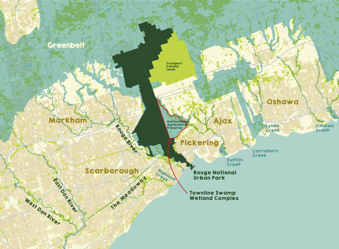
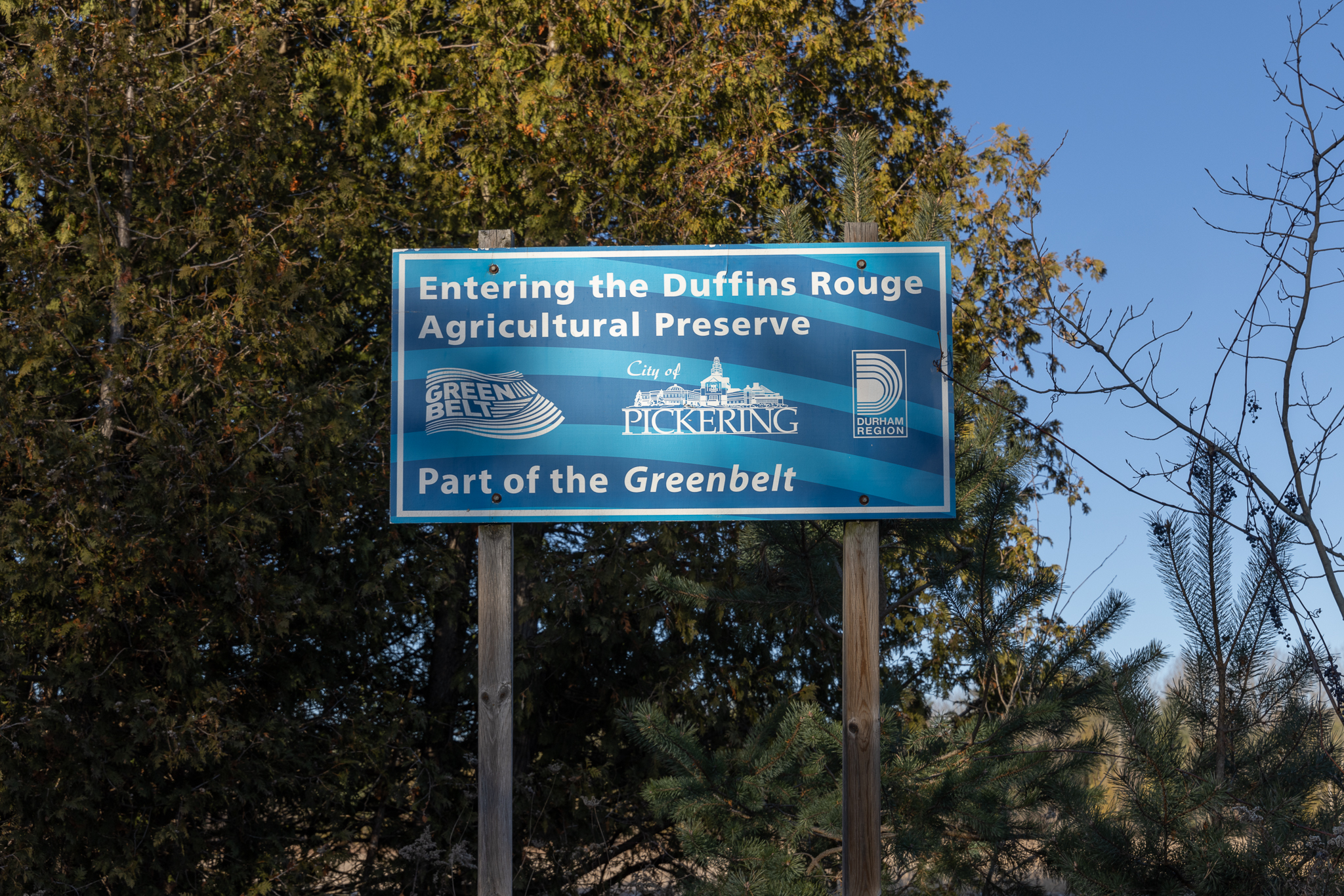
Duffins Rouge Agricultural Preserve
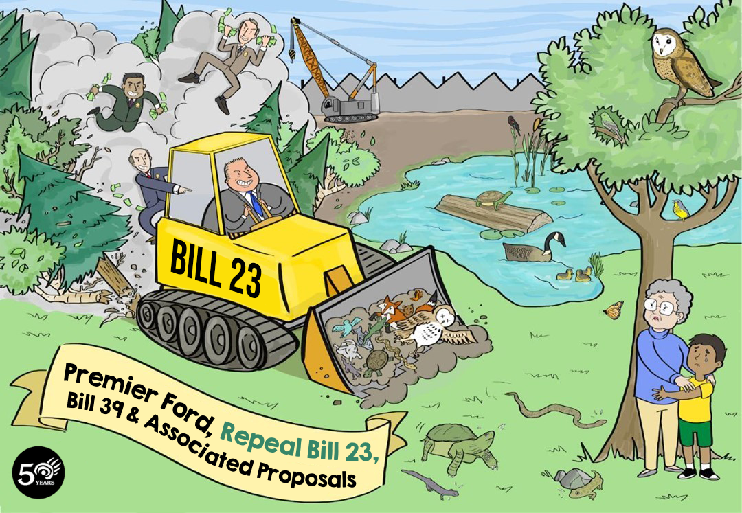
The Duffins Rouge Agricultural Preserve (DRAP) is one section of the Greenbelt Doug Ford’s Government has opened up to development through Bills 23, 39 and its associated policies.
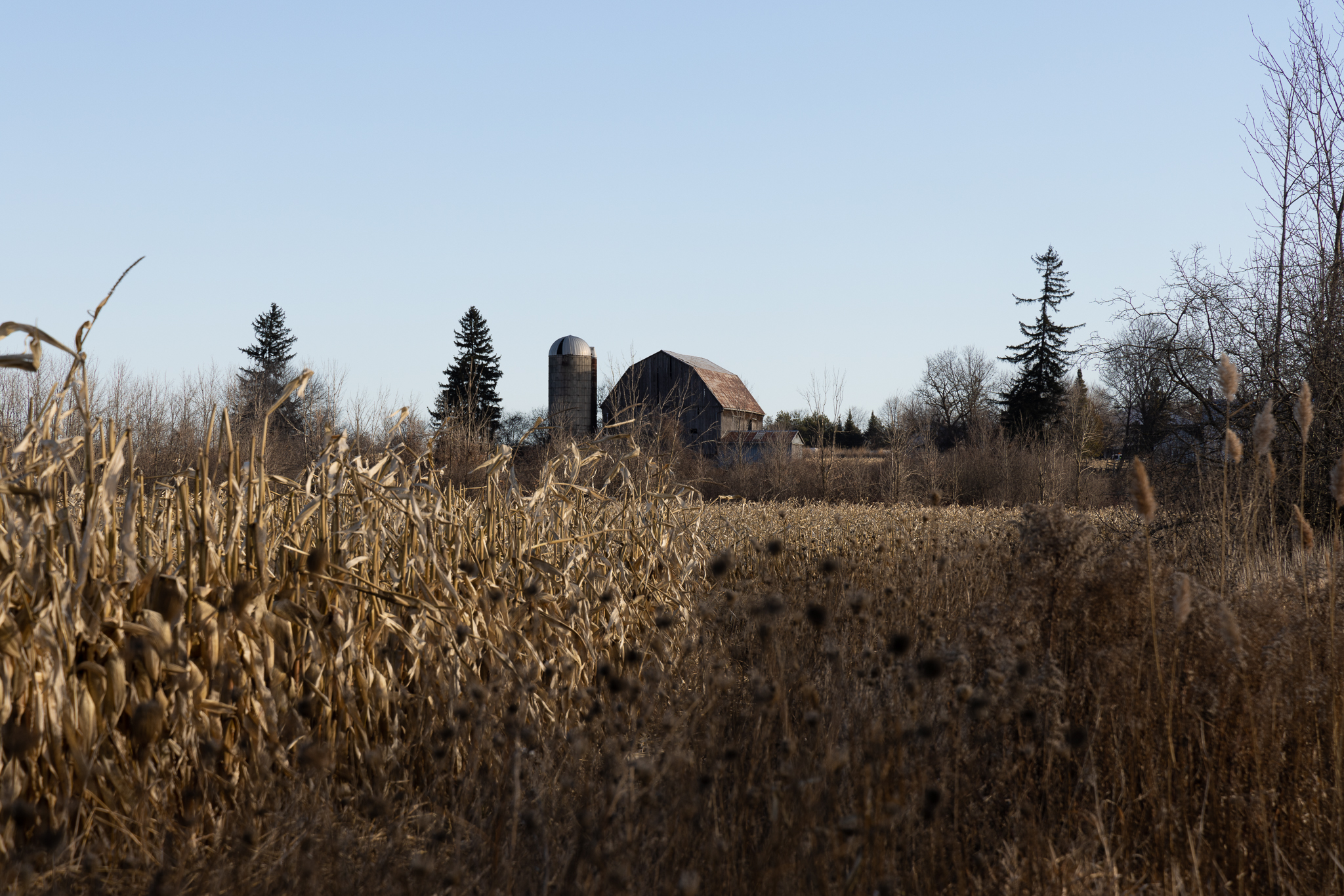
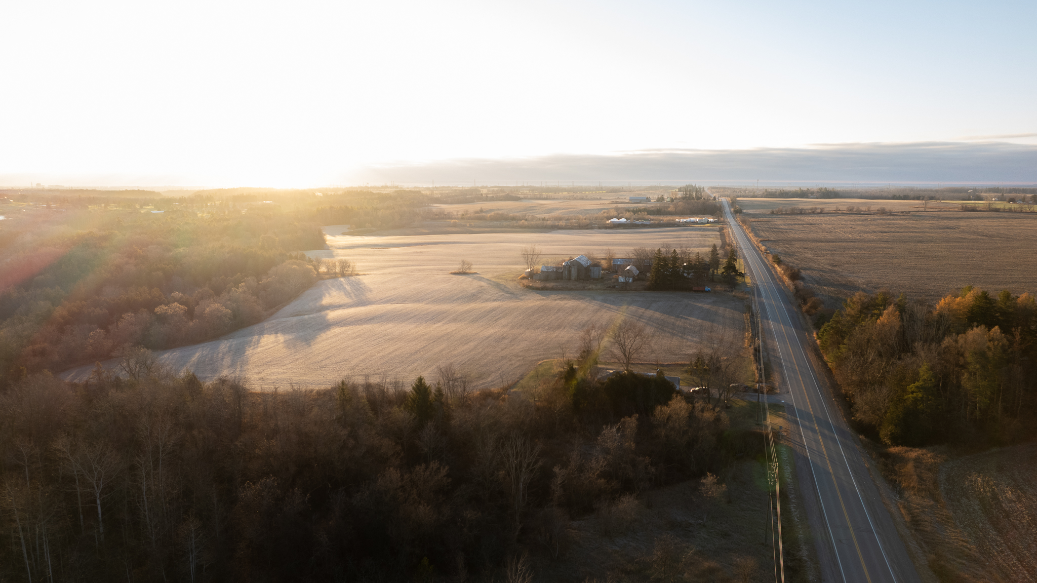
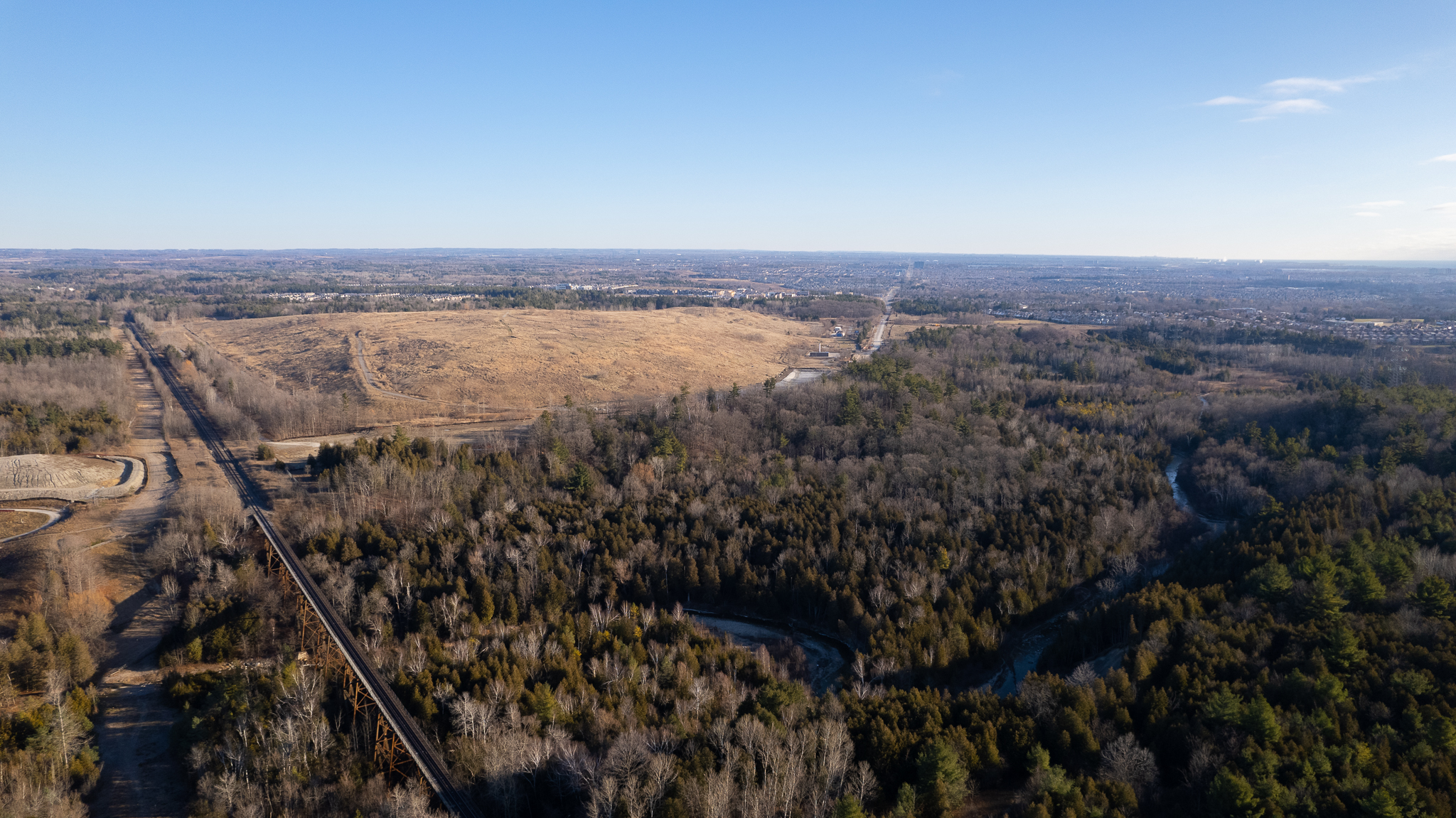
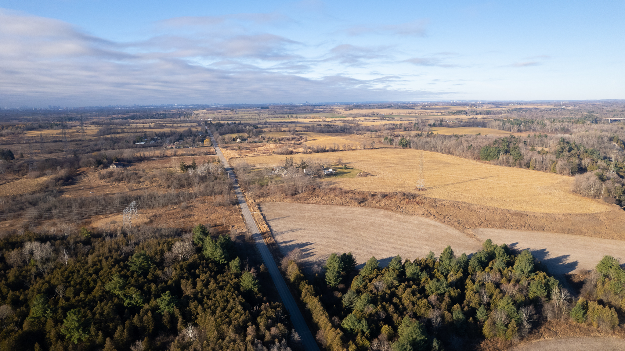
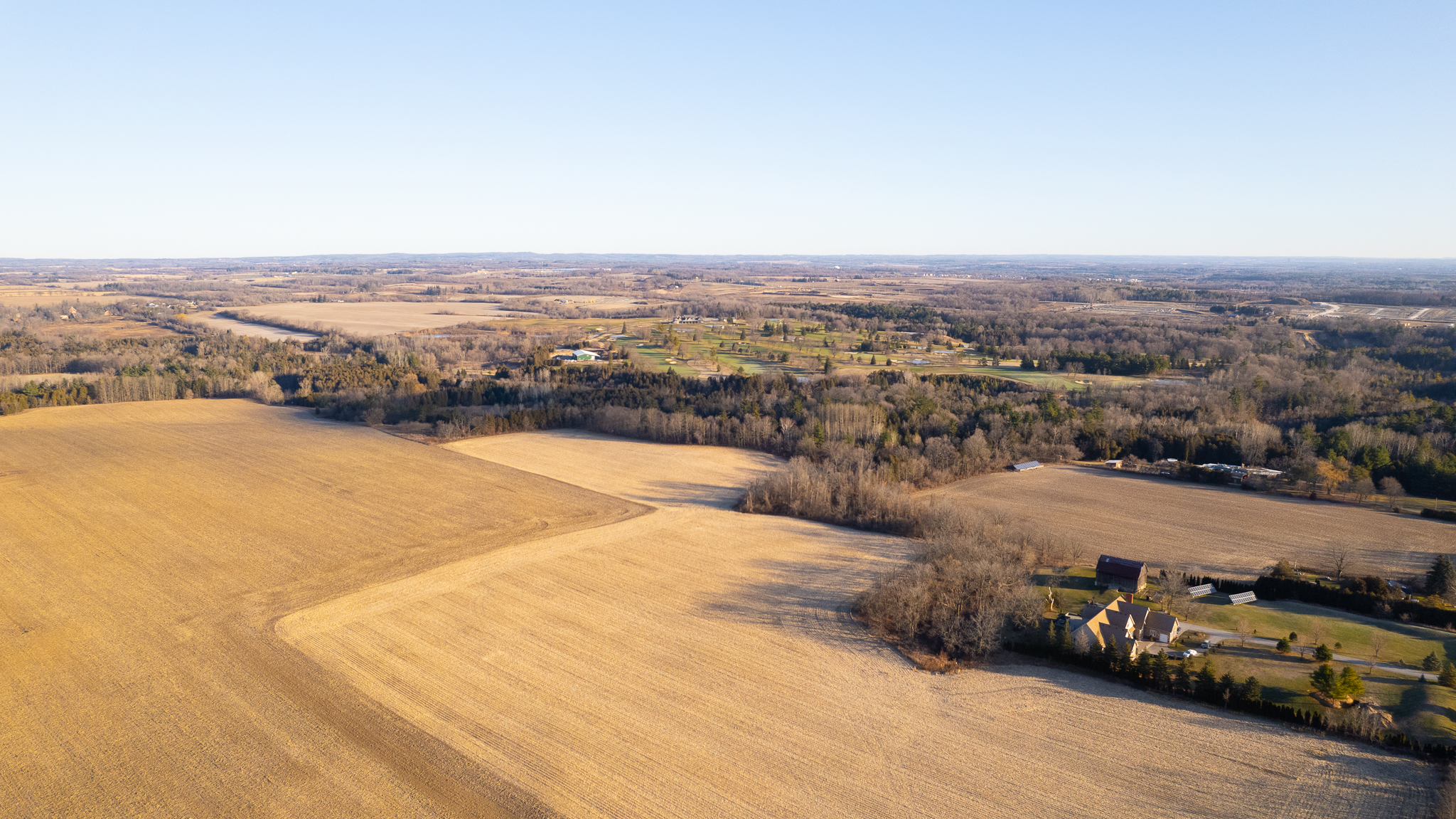
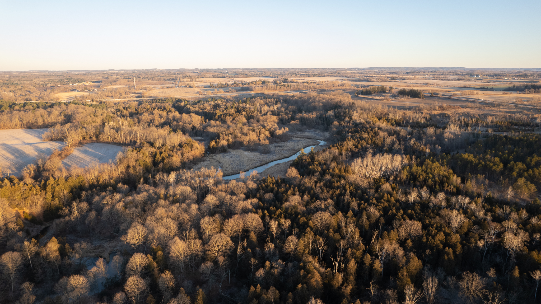
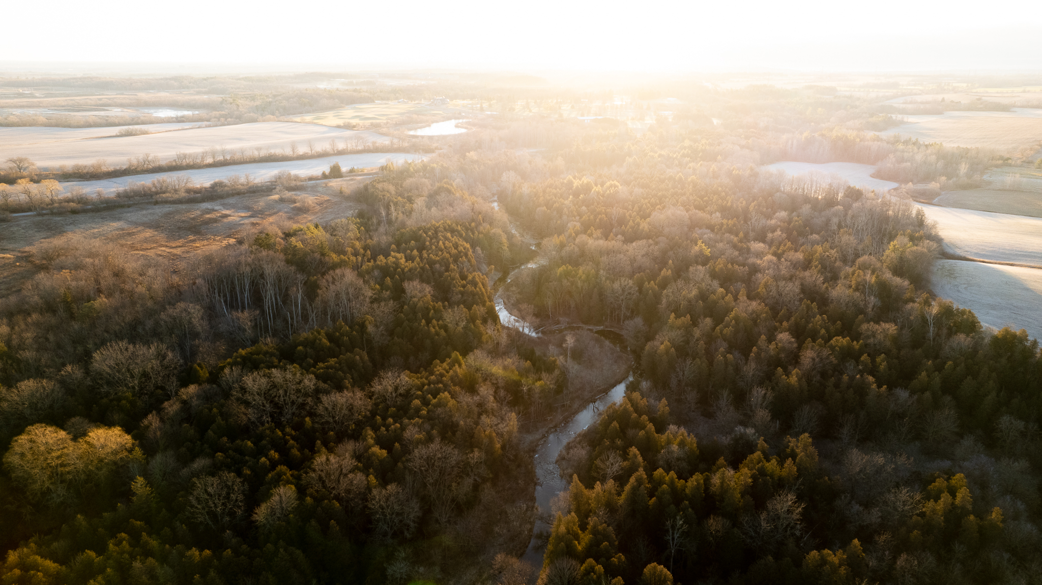
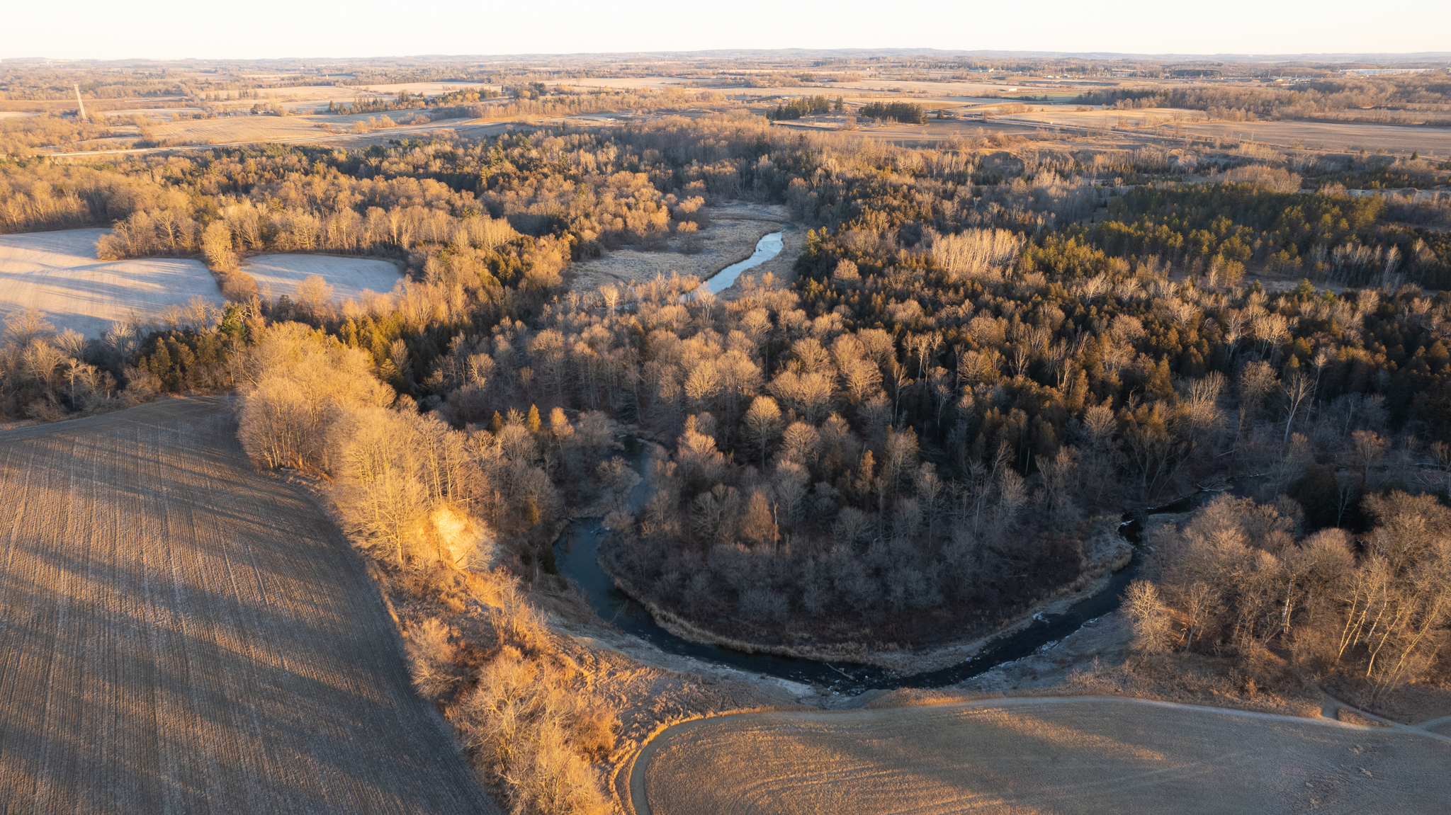
The DRAP is situated between the Duffins Creek and Rouge Urban National Park and is an important corridor for movement of wildlife and water. The DRAP is 4,700 acres containing Class I agricultural land and pristine natural areas. Almost 30% is natural habitat that provides refuge for many wildlife species including snapping turtles, woodfrogs and bullfrogs.
Development of DRAP will threaten adjacent Townline Swamp Wetland Complex- the most biologically diverse location within Rouge National Urban Park with Blanding’s turtles, red-headed woodpeckers and monarchs- all species at risk.
Download the images and maps below (right-click and save) for your campaigns to stop Doug Ford from destroying more of Ontario’s irreplaceable landscapes.